
Neuer Canal vom Schneide Graben zum Notten Fluss topographic map
Interactive map
Click on the map to display elevation.
About this map
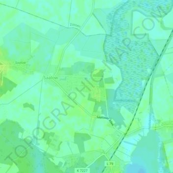
Name: Neuer Canal vom Schneide Graben zum Notten Fluss topographic map, elevation, terrain.
Average elevation: 128 ft
Minimum elevation: 112 ft
Maximum elevation: 148 ft