
永和镇 topographic map
Interactive map
Click on the map to display elevation.
About this map
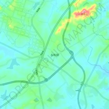
Name: 永和镇 topographic map, elevation, terrain.
Location: 永和镇, 晋江市, 泉州市, 福建省, 中国 (24.65704 118.52242 24.73704 118.60242)
Average elevation: 125 ft
Minimum elevation: 33 ft
Maximum elevation: 548 ft
Other topographic maps
Click on a map to view its topography, its elevation and its terrain.