
Five Forks topographic map
Interactive map
Click on the map to display elevation.
About this map
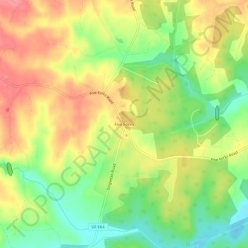
Name: Five Forks topographic map, elevation, terrain.
Location: Five Forks, Prince Edward County, Virginia, USA (37.21821 -78.59694 37.25821 -78.55694)
Average elevation: 515 ft
Minimum elevation: 377 ft
Maximum elevation: 640 ft