
广宁街道 topographic map
Interactive map
Click on the map to display elevation.
About this map
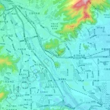
Name: 广宁街道 topographic map, elevation, terrain.
Location: 广宁街道, 石景山区, 北京市, 100042, 中国 (39.88459 116.09963 39.96459 116.17963)
Average elevation: 361 ft
Minimum elevation: 200 ft
Maximum elevation: 1,463 ft
Other topographic maps
Click on a map to view its topography, its elevation and its terrain.