Geolocate

Holiday topographic map

Click on the map to display elevation.

About this map

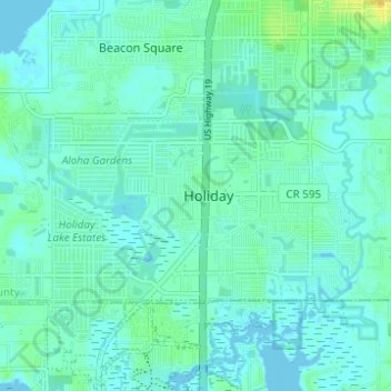
Name: Holiday topographic map, elevation, terrain.

Location: Holiday, Pasco County, Florida, United States (28.17275 -82.77340 28.20277 -82.71169)

Average elevation: 16 ft

Minimum elevation: -7 ft

Maximum elevation: 66 ft

Pasco County trails, hiking, mountain biking, running and outdoor activities

Other topographic maps

Click on a map to view its topography, its elevation and its terrain.

Forest Hills

United States > Florida > Pasco County > Holiday

Average elevation: 13 ft

Gear up for your next adventure:

👓Polarized Sunglasses - Outdoor sunglasses for glare reduction
🧯Emergency Survival Kit - All‑in‑one survival essentials for the backcountry
🛰️Satellite Messengers - Emergency SOS and two-way messaging for off-grid adventures
🧥Waterproof Jacket for Hiking - Breathable and rugged rain jacket for outdoor excursions
🔦Compact Flashlight - Reliable flashlight for emergencies

As an Amazon Associate, this site earns from qualifying purchases at no extra cost to you.