
Cerro Arequita topographic map
Interactive map
Click on the map to display elevation.
About this map
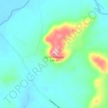
Name: Cerro Arequita topographic map, elevation, terrain.
Location: Cerro Arequita, Lavalleja, Uruguay (-34.29077 -55.26627 -34.29067 -55.26617)
Average elevation: 459 ft
Minimum elevation: 344 ft
Maximum elevation: 860 ft
Other topographic maps
Click on a map to view its topography, its elevation and its terrain.