
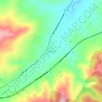
Toumiette topographic map
Interactive map
Click on the map to display elevation.
About this map
Name: Toumiette topographic map, elevation, terrain.
Average elevation: 794 ft
Minimum elevation: 400 ft
Maximum elevation: 1,457 ft
Other topographic maps
Click on a map to view its topography, its elevation and its terrain.
Bir Stal
Algérie > Skikda > Daïra El Harrouch > El Harrouch
Bir Stal, El Harrouch, Daïra El Harrouch, Skikda, 21003, Algérie
Average elevation: 545 ft