
水洞沟 topographic map
Interactive map
Click on the map to display elevation.
About this map
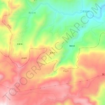
Name: 水洞沟 topographic map, elevation, terrain.
Location: 水洞沟, 荥阳市, 郑州市, 河南省, 中国 (34.59563 113.19493 34.63563 113.23493)
Average elevation: 2,165 ft
Minimum elevation: 1,079 ft
Maximum elevation: 3,127 ft
Other topographic maps
Click on a map to view its topography, its elevation and its terrain.