
Heris topographic map
Interactive map
Click on the map to display elevation.
About this map
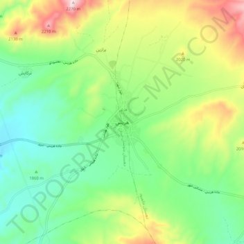
Name: Heris topographic map, elevation, terrain.
Location: Heris, بخش مرکزی, Heris County, East Azerbaijan Province, Iran (38.20726 47.07628 38.28726 47.15628)
Average elevation: 6,362 ft
Minimum elevation: 5,761 ft
Maximum elevation: 7,497 ft