
Hijuela topographic map
Interactive map
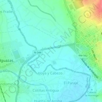
Click on the map to display elevation.
About this map
Name: Hijuela topographic map, elevation, terrain.
Average elevation: 259 ft
Minimum elevation: 213 ft
Maximum elevation: 413 ft
Other topographic maps
Click on a map to view its topography, its elevation and its terrain.
Los Vientos
España > Región de Murcia > Vega Media del Segura > Molina de Segura
Los Vientos, Molina de Segura, Vega Media del Segura, Región de Murcia, 30500, España
Average elevation: 390 ft