
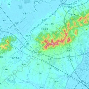
汤泉街道 topographic map
Interactive map
Click on the map to display elevation.
About this map
Name: 汤泉街道 topographic map, elevation, terrain.
Location: 汤泉街道, 浦口区, 南京市, 江苏省, 中国 (31.97408 118.44264 32.14423 118.64767)
Average elevation: 141 ft
Minimum elevation: 13 ft
Maximum elevation: 1,375 ft
Other topographic maps
Click on a map to view its topography, its elevation and its terrain.