
Klingenthal topographic map
Interactive map
Click on the map to display elevation.
About this map
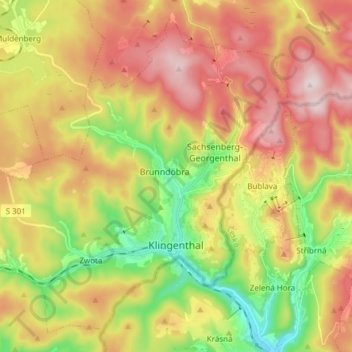
Name: Klingenthal topographic map, elevation, terrain.
Location: Klingenthal, Vogtlandkreis, Saxony, Germany (50.33373 12.36468 50.42047 12.51656)
Average elevation: 2,405 ft
Minimum elevation: 1,693 ft
Maximum elevation: 3,143 ft