
A-da-Velha topographic map
Interactive map
Click on the map to display elevation.
About this map
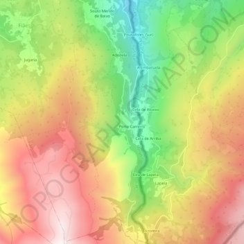
Name: A-da-Velha topographic map, elevation, terrain.
Location: A-da-Velha, Fiães, Melgaço, Viana do Castelo, Portugal (42.06954 -8.21032 42.10954 -8.17032)
Average elevation: 2,687 ft
Minimum elevation: 1,158 ft
Maximum elevation: 4,072 ft