
Geçimli topographic map
Interactive map
Click on the map to display elevation.
About this map
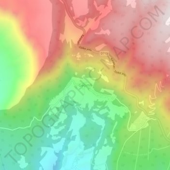
Name: Geçimli topographic map, elevation, terrain.
Location: Geçimli, Mut, Mersin, Mediterranean Region, Turkey (36.77133 33.30827 36.81133 33.34827)
Average elevation: 3,314 ft
Minimum elevation: 1,722 ft
Maximum elevation: 4,925 ft