
ເມືອງໃໝ topographic map
Interactive map
Click on the map to display elevation.
About this map
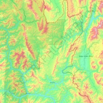
Name: ເມືອງໃໝ topographic map, elevation, terrain.
Location: ເມືອງໃໝ, Provinz Phongsali, Laos (21.00171 102.46538 21.84647 102.99287)
Average elevation: 2,802 ft
Minimum elevation: 1,132 ft
Maximum elevation: 7,031 ft