
Çiftlik topographic map
Interactive map
Click on the map to display elevation.
About this map
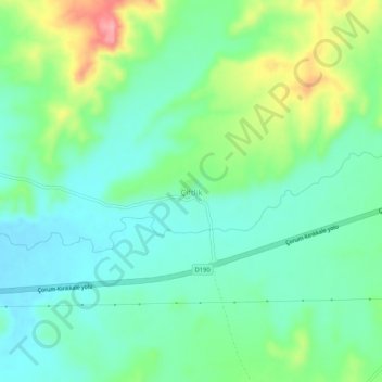
Name: Çiftlik topographic map, elevation, terrain.
Location: Çiftlik, Sungurlu, Çorum, Région de la mer Noire, Turquie (40.13193 34.26220 40.17193 34.30220)
Average elevation: 2,343 ft
Minimum elevation: 2,224 ft
Maximum elevation: 2,618 ft