
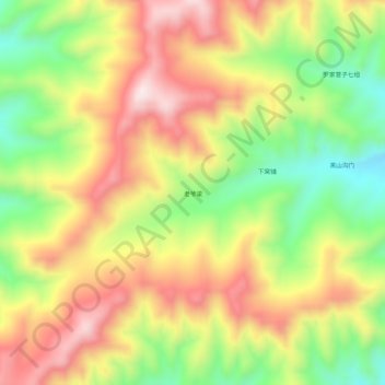
老爷梁 topographic map
Interactive map
Click on the map to display elevation.
About this map
Name: 老爷梁 topographic map, elevation, terrain.
Location: 老爷梁, 王爷府镇, 喀喇沁旗, 赤峰市, 内蒙古自治区, 中国 (41.74117 118.49779 41.78117 118.53779)
Average elevation: 4,268 ft
Minimum elevation: 3,481 ft
Maximum elevation: 5,033 ft