
Oum El Bouaghi topographic map
Interactive map
Click on the map to display elevation.
About this map
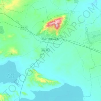
Name: Oum El Bouaghi topographic map, elevation, terrain.
Location: Oum El Bouaghi, Oum El Bouaghi District, Oum El Bouaghi, Algeria (35.71478 6.92867 35.96063 7.26100)
Average elevation: 2,976 ft
Minimum elevation: 2,703 ft
Maximum elevation: 5,341 ft