
Ochi topographic map
Interactive map
Click on the map to display elevation.
About this map
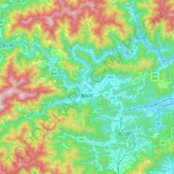
Name: Ochi topographic map, elevation, terrain.
Location: Ochi, Takaoka County, Kochi Prefecture, Japan (33.46392 133.14632 33.61351 133.31055)
Average elevation: 1,115 ft
Minimum elevation: 56 ft
Maximum elevation: 3,333 ft