
阿者科村寨 topographic map
Interactive map
Click on the map to display elevation.
About this map
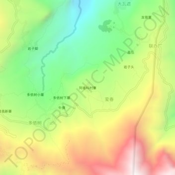
Name: 阿者科村寨 topographic map, elevation, terrain.
Location: 阿者科村寨, 爱春, 元阳县, 红河哈尼族彝族自治州, 云南省, 中国 (23.07058 102.80018 23.11058 102.84018)
Average elevation: 6,253 ft
Minimum elevation: 4,288 ft
Maximum elevation: 8,688 ft