
Bulusan topographic map
Interactive map
Click on the map to display elevation.
About this map
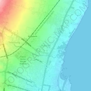
Name: Bulusan topographic map, elevation, terrain.
Location: Bulusan, Banyuwangi, East Java, 68421, Indonesia (-8.20872 114.35499 -8.16872 114.39499)
Average elevation: 121 ft
Minimum elevation: -7 ft
Maximum elevation: 492 ft