
Barrea topographic map
Interactive map
Click on the map to display elevation.
About this map
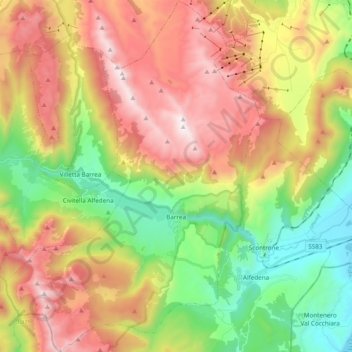
Name: Barrea topographic map, elevation, terrain.
Location: Barrea, L'Aquila, Abruzzen, Italien (41.70353 13.89764 41.84668 14.03668)
Average elevation: 4,859 ft
Minimum elevation: 2,671 ft
Maximum elevation: 7,470 ft