
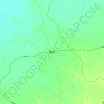
望台镇 topographic map
Interactive map
Click on the map to display elevation.
About this map
Name: 望台镇 topographic map, elevation, terrain.
Location: 望台镇, 海城市, 鞍山市, 辽宁省, 中国 (40.92496 122.57436 41.00496 122.65436)
Average elevation: 30 ft
Minimum elevation: 10 ft
Maximum elevation: 52 ft
Other topographic maps
Click on a map to view its topography, its elevation and its terrain.