
Boğaz Köyü topographic map
Interactive map
Click on the map to display elevation.
About this map
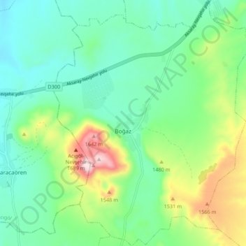
Name: Boğaz Köyü topographic map, elevation, terrain.
Average elevation: 4,633 ft
Minimum elevation: 4,272 ft
Maximum elevation: 5,545 ft
Other topographic maps
Click on a map to view its topography, its elevation and its terrain.
Göreme
Göreme, Nevşehir Merkez, Nevşehir, Région de l'Anatolie centrale, Turquie
Average elevation: 3,668 ft