
Parkhurst topographic map
Interactive map
Click on the map to display elevation.
About this map
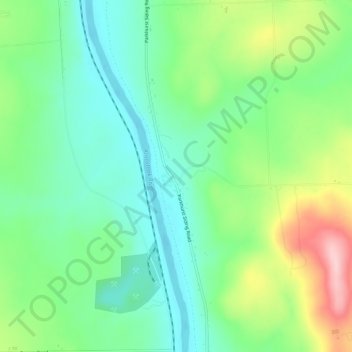
Name: Parkhurst topographic map, elevation, terrain.
Location: Parkhurst, Aroostook County, Maine, USA (46.72838 -67.97669 46.76838 -67.93669)
Average elevation: 600 ft
Minimum elevation: 374 ft
Maximum elevation: 1,070 ft