
Brent topographic map
Interactive map
Click on the map to display elevation.
About this map
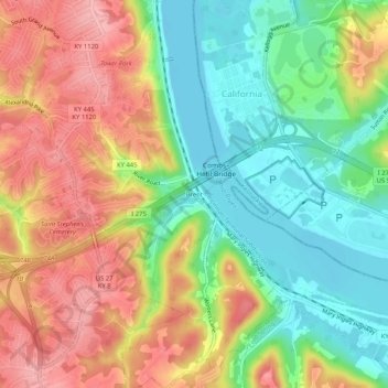
Name: Brent topographic map, elevation, terrain.
Location: Brent, Campbell County, Kentucky, 45228, USA (39.03478 -84.45355 39.07478 -84.41355)
Average elevation: 653 ft
Minimum elevation: 463 ft
Maximum elevation: 866 ft