
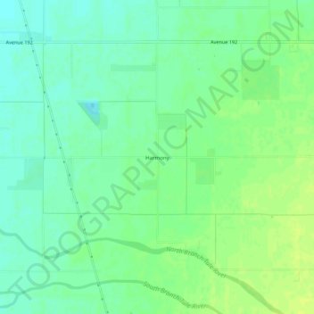
Harmony topographic map
Interactive map
Click on the map to display elevation.
About this map
Name: Harmony topographic map, elevation, terrain.
Location: Harmony, Tulare County, California, USA (36.10356 -119.18983 36.14356 -119.14983)
Average elevation: 348 ft
Minimum elevation: 322 ft
Maximum elevation: 371 ft