
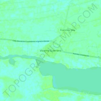
Vicente Guerrero topographic map
Interactive map
Click on the map to display elevation.
About this map
Name: Vicente Guerrero topographic map, elevation, terrain.
Location: Vicente Guerrero, Centla, Tabasco, México (18.34989 -92.93504 18.42989 -92.85504)
Average elevation: 16 ft
Minimum elevation: 3 ft
Maximum elevation: 30 ft