
Camisea topographic map
Interactive map
Click on the map to display elevation.
About this map
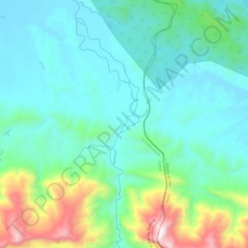
Name: Camisea topographic map, elevation, terrain.
Location: Camisea, Megantoni, La Convención, Cusco, Peru (-11.96771 -72.38026 -11.85373 -72.35054)
Average elevation: 2,379 ft
Minimum elevation: 1,549 ft
Maximum elevation: 5,354 ft