
Parque de Redes topographic map
Interactive map
Click on the map to display elevation.
About this map
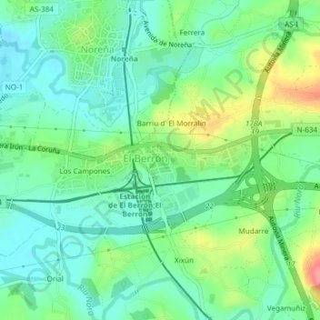
Name: Parque de Redes topographic map, elevation, terrain.
Location: Parque de Redes, El Berrón, Siero, Asturias, España (43.38445 -5.70004 43.38485 -5.69882)
Average elevation: 669 ft
Minimum elevation: 577 ft
Maximum elevation: 863 ft
Other topographic maps
Click on a map to view its topography, its elevation and its terrain.
Carbayin Alto
Carbayin Alto, Siero, Asturias, 33936, España
Average elevation: 1,214 ft
Fozana
España > Asturias > Siero > Urbanización Palacio de Meres - Fontemera
Fozana, Urbanización Palacio de Meres - Fontemera, Siero, Asturias, 33199, España
Average elevation: 725 ft
Santa Eulalia
Santa Eulalia, Siero, Asturias, 33519, España
Average elevation: 925 ft