
Blackland topographic map
Interactive map
Click on the map to display elevation.
About this map
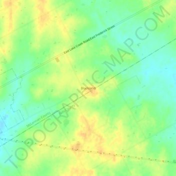
Name: Blackland topographic map, elevation, terrain.
Location: Blackland, McLennan County, Texas, 66682, United States (31.45906 -96.90638 31.49906 -96.86638)
Average elevation: 531 ft
Minimum elevation: 479 ft
Maximum elevation: 581 ft