
Matala topographic map
Interactive map
Click on the map to display elevation.
About this map
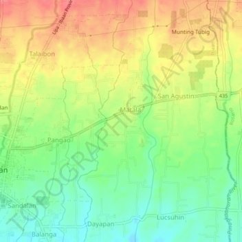
Name: Matala topographic map, elevation, terrain.
Location: Matala, Ibaan, Batangas, Calabarzon, 4230, Philippines (13.80655 121.13312 13.84655 121.17312)
Average elevation: 433 ft
Minimum elevation: 328 ft
Maximum elevation: 541 ft