
Herongen topographic map
Interactive map
Click on the map to display elevation.
About this map
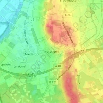
Name: Herongen topographic map, elevation, terrain.
Average elevation: 148 ft
Minimum elevation: 59 ft
Maximum elevation: 256 ft
Other topographic maps
Click on a map to view its topography, its elevation and its terrain.
Zand
Deutschland > Nordrhein-Westfalen > Kreis Kleve > Straelen
Zand, Straelen, Kreis Kleve, Nordrhein-Westfalen, 47638, Deutschland
Average elevation: 131 ft