
西河区街道 topographic map
Interactive map
Click on the map to display elevation.
About this map
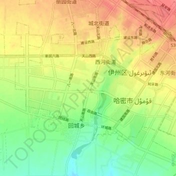
Name: 西河区街道 topographic map, elevation, terrain.
Location: 西河区街道, 伊州区, 哈密市, Xinjiang, 650500, Chine (42.80176 93.46818 42.83976 93.53706)
Average elevation: 2,487 ft
Minimum elevation: 2,388 ft
Maximum elevation: 2,582 ft