
Mertert topographic map
Interactive map
Click on the map to display elevation.
About this map
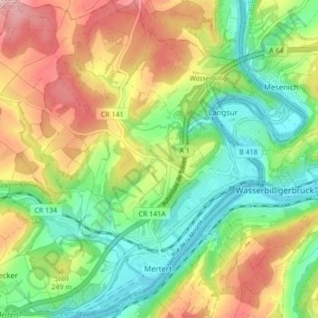
Name: Mertert topographic map, elevation, terrain.
Location: Mertert, Canton Grevenmacher, Luxembourg (49.69235 6.44481 49.74262 6.51715)
Average elevation: 738 ft
Minimum elevation: 423 ft
Maximum elevation: 1,191 ft