
Haart topographic map
Interactive map
Click on the map to display elevation.
About this map
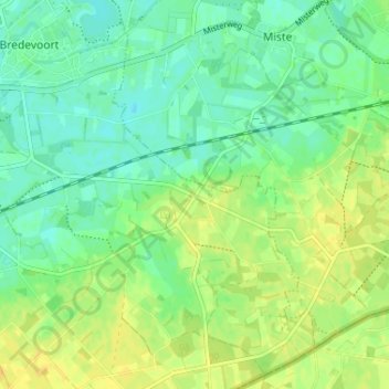
Name: Haart topographic map, elevation, terrain.
Location: Haart, Gelderland, Nederland, 7121KZ, Nederland (51.90834 6.62572 51.94834 6.66572)
Average elevation: 108 ft
Minimum elevation: 75 ft
Maximum elevation: 141 ft