
Long Meadow topographic map
Interactive map
Click on the map to display elevation.
About this map
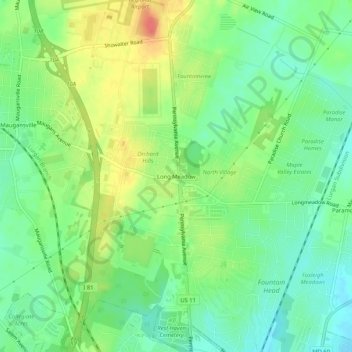
Name: Long Meadow topographic map, elevation, terrain.
Location: Long Meadow, Washington County, Maryland, 21767, USA (39.66700 -77.74139 39.70700 -77.70139)
Average elevation: 630 ft
Minimum elevation: 554 ft
Maximum elevation: 745 ft