
Huamachuco topographic map
Interactive map
Click on the map to display elevation.
About this map
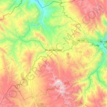
Name: Huamachuco topographic map, elevation, terrain.
Location: Huamachuco, Sánchez Carrión, La Libertad, Peru (-7.95735 -78.18765 -7.69427 -77.88111)
Average elevation: 11,020 ft
Minimum elevation: 7,320 ft
Maximum elevation: 15,486 ft