
Kraśnik topographic map
Interactive map
Click on the map to display elevation.
About this map
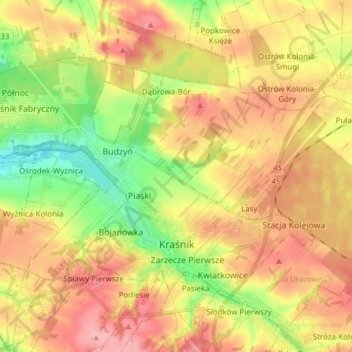
Name: Kraśnik topographic map, elevation, terrain.
Location: Kraśnik, powiat kraśnicki, Lublin Voivodeship, Poland (50.91061 22.13681 50.97629 22.29015)
Average elevation: 761 ft
Minimum elevation: 587 ft
Maximum elevation: 912 ft