
Hawarden topographic map
Interactive map
Click on the map to display elevation.
About this map
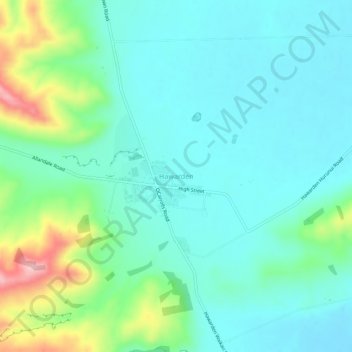
Name: Hawarden topographic map, elevation, terrain.
Location: Hawarden, Hurunui District, Canterbury, 7348, New Zealand (-42.94226 172.62455 -42.90226 172.66455)
Average elevation: 896 ft
Minimum elevation: 751 ft
Maximum elevation: 1,378 ft