
Dhana topographic map
Interactive map
Click on the map to display elevation.
About this map
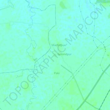
Name: Dhana topographic map, elevation, terrain.
Location: Dhana, Nālanda, Nalanda, Bihar, 803111, India (25.09015 85.40330 25.13015 85.44330)
Average elevation: 197 ft
Minimum elevation: 184 ft
Maximum elevation: 210 ft