
Roturas topographic map
Interactive map
Click on the map to display elevation.
About this map
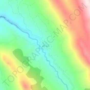
Name: Roturas topographic map, elevation, terrain.
Location: Roturas, Cáceres, Extremadura, España (39.55434 -5.47986 39.55818 -5.47564)
Average elevation: 2,569 ft
Minimum elevation: 1,808 ft
Maximum elevation: 3,793 ft