
Rockwood topographic map
Interactive map
Click on the map to display elevation.
About this map
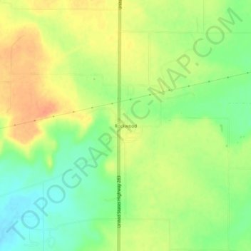
Name: Rockwood topographic map, elevation, terrain.
Location: Rockwood, Coleman County, Texas, 76873, USA (31.48099 -99.39339 31.52099 -99.35339)
Average elevation: 1,470 ft
Minimum elevation: 1,398 ft
Maximum elevation: 1,535 ft