
Ambilobe topographic map
Interactive map
Click on the map to display elevation.
About this map
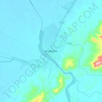
Name: Ambilobe topographic map, elevation, terrain.
Location: Ambilobe, Diana, Antsiranana Province, Madagascar (-13.23444 49.00996 -13.15444 49.08996)
Average elevation: 151 ft
Minimum elevation: 66 ft
Maximum elevation: 1,060 ft