
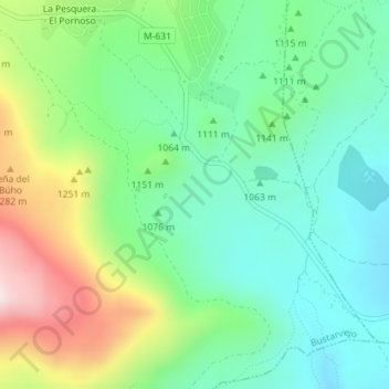
Los Molinos topographic map
Interactive map
Click on the map to display elevation.
About this map
Name: Los Molinos topographic map, elevation, terrain.
Average elevation: 3,675 ft
Minimum elevation: 3,186 ft
Maximum elevation: 4,695 ft
Other topographic maps
Click on a map to view its topography, its elevation and its terrain.
La Encinilla
España > Comunidad de Madrid > Bustarviejo
La Encinilla, Bustarviejo, Comunidad de Madrid, 28792, España
Average elevation: 4,127 ft
Cancho del Mondalindo
España > Comunidad de Madrid > Bustarviejo
Cancho del Mondalindo, Bustarviejo, Sierra Norte, Comunidad de Madrid, 28720, España
Average elevation: 4,731 ft