
Provincia de Huaraz topographic map
Interactive map
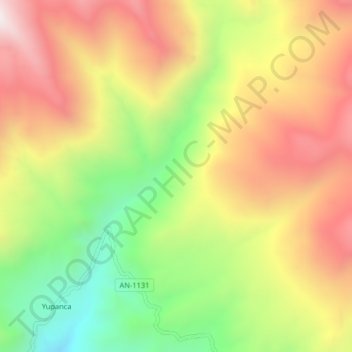
Click on the map to display elevation.
About this map
Name: Provincia de Huaraz topographic map, elevation, terrain.
Location: Provincia de Huaraz, Pira, Huaraz, Áncash, Perú (-9.54517 -77.67740 -9.50517 -77.63740)
Average elevation: 13,645 ft
Minimum elevation: 11,893 ft
Maximum elevation: 15,302 ft
Other topographic maps
Click on a map to view its topography, its elevation and its terrain.