
Bolden topographic map
Interactive map
Click on the map to display elevation.
About this map
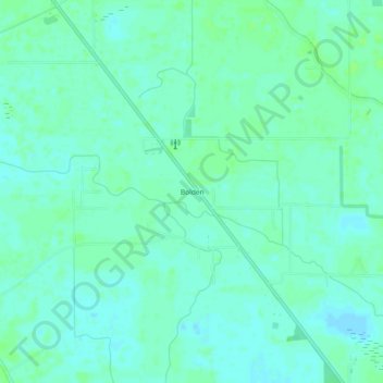
Name: Bolden topographic map, elevation, terrain.
Location: Bolden, St. Landry Parish, Louisiana, USA (30.65880 -91.95095 30.69880 -91.91095)
Average elevation: 33 ft
Minimum elevation: 20 ft
Maximum elevation: 46 ft