
Surco topographic map
Interactive map
Click on the map to display elevation.
About this map
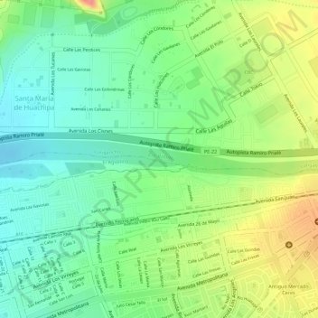
Name: Surco topographic map, elevation, terrain.
Location: Surco, El Agustino, Lima, 43, Perú (-12.02197 -76.93752 -12.02150 -76.93717)
Average elevation: 1,047 ft
Minimum elevation: 938 ft
Maximum elevation: 1,194 ft
Other topographic maps
Click on a map to view its topography, its elevation and its terrain.
El Agustino
Perú > Lima > El Agustino
El Agustino, Provincia de Lima, Lima, Perú
Average elevation: 748 ft