
Dégioz topographic map
Interactive map
Click on the map to display elevation.
About this map
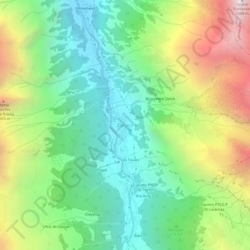
Name: Dégioz topographic map, elevation, terrain.
Location: Dégioz, Aosta Valley, Italy (45.57181 7.18984 45.61181 7.22984)
Average elevation: 7,133 ft
Minimum elevation: 4,767 ft
Maximum elevation: 11,394 ft