Geolocate

Chandragiri topographic map

Click on the map to display elevation.

About this map

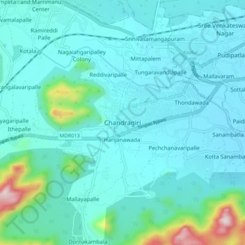
Name: Chandragiri topographic map, elevation, terrain.

Location: Chandragiri, Tirupati, Andhra Pradesh, 517100, India (13.54425 79.27667 13.62425 79.35667)

Average elevation: 833 ft

Minimum elevation: 564 ft

Maximum elevation: 2,585 ft

Gear up for your next adventure:

🧯Emergency Survival Kit - All‑in‑one survival essentials for the backcountry
🔦Powerful Headlamps - Ultra-bright hands-free lighting for night navigation
📶Satellite Messenger - Communication device off‑grid
🧭Orienteering Set - Complete compass and map reading kit
🗃️Trail First Aid Kit - Essential kit for outdoor injuries and emergencies

As an Amazon Associate, this site earns from qualifying purchases at no extra cost to you.